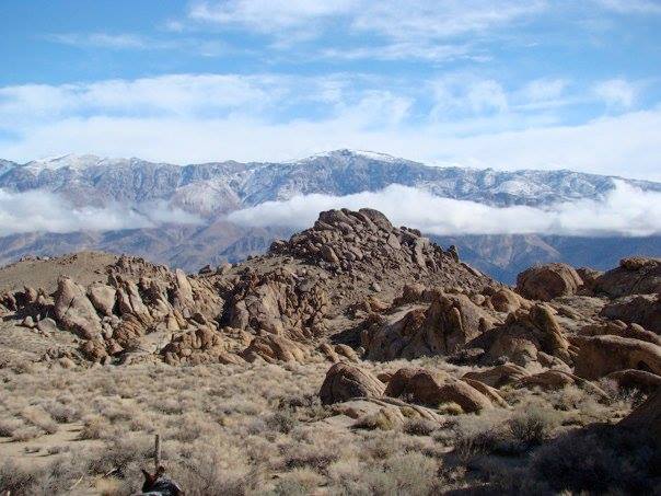
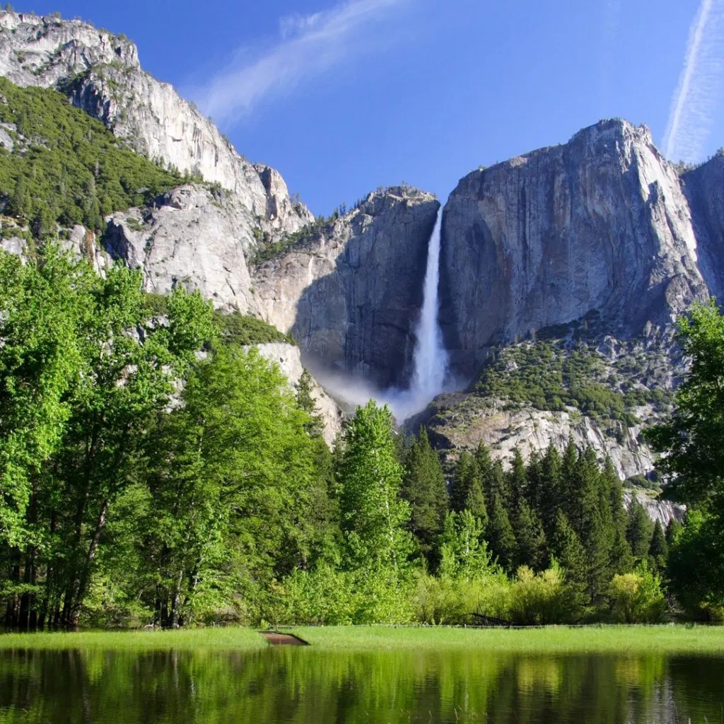
The Sierra runs 400 miles (640 km) north-south and its width ranges from 50 miles (80 km) to 80 miles (130 km) across east–west.[3] Notable features include General Sherman, the largest tree in the world by volume; Lake Tahoe, the largest alpine lake in North America; Mount Whitney at 14,505 ft (4,421 m),[1] the highest point in the contiguous United States; and Yosemite Valley, sculpted by glaciers from one-hundred-million-year-old granite, containing high waterfalls. The Sierra is home to three national parks, twenty wilderness areas, and two national monuments. These areas include Yosemite, Sequoia, and Kings Canyon National Parks; and Devils Postpile National Monument.
Mount Whitney (Paiute: Tumanguya; Too-man-i-goo-yah) is the highest mountain in the contiguous United States and the Sierra Nevada, with an elevation of 14,505 feet (4,421 m).[ It is in East–Central California, on the boundary between California’s Inyo and Tulare counties, 84.6 miles (136.2 km)[8] west-northwest of North America’s lowest point, Badwater Basin in Death Valley National Park, at 282 ft (86 m) below sea level. The mountain’s west slope is in Sequoia National Park and the summit is the southern terminus of the John Muir Trail, which runs 211.9 mi (341.0 km) from Happy Isles in Yosemite Valley. The eastern slopes are in the Inyo National Forest in Inyo County.


Leave a comment